| Warley is a village west of Halifax on a level shelf halfway up the north flank of the Calder Valley. Warley, as Werlafeslei, is in the Domesday Book of 1086, that inventory of his conquests drawn up by William the Conqueror, or William the Bastard as he was known at the time. It became one of the townships of the area between that of Midgley and that of Ovenden. High Road Well Moor separated it from the township of Halifax. In those days little more than a group of houses was termed a township in this part of the West Riding. Today people still talk of Warley Town. |
|
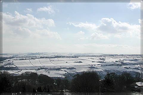
The
hillside around Warley slopes away to Luddenden Dean and the walk from one to
the another across the moors provides spectacular panoramic views of the
Pennine hills and valleys. Luddenden, like Warley and Heptonstall, is one of
the unspoilt villages of the region. Not built to be charming these villages
now most certainly are. The immense but now redundant Murgatroyd’s Mill
dominates Luddenden, this area known by many locally as Little Switzerland. |
|
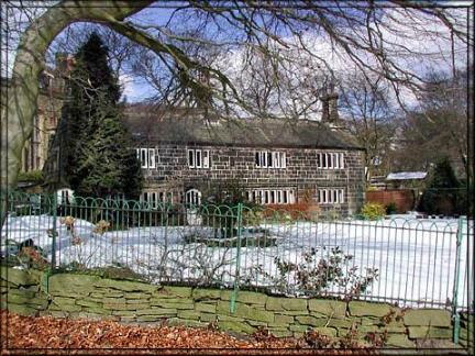
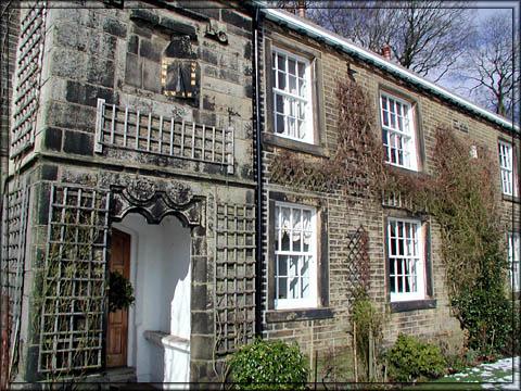
The Grange |
Warley
grew during the Middle Ages as a farming area. A third of its population died
in the Great Plague of the fourteenth century, a proportion which was the norm
in Christendom. Daniel Defoe rode through Warley whilst travelling through
Yorkshire. James Murgatroyd of Warley was one of those who refused to buy a
knighthood from Charles I and was consequently fined. Civil War troops passed
by whilst crossing from Lancashire to Yorkshire. Place names in Warley echo
military encounters in the past – Camp End and Sentry Edge. The township
grew after the eighteenth century with the construction of the Cliff Hill
Estate and in 1846 the Congregational Church was put up in the centre of the
village to cater for the strong Nonconformist tradition of the area.
Physically the Industrial Revolution had limited effect on Warley,
concentrated as it was on the water power of the valleys and the towns. |
|
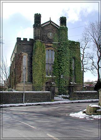
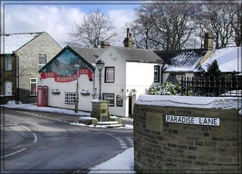
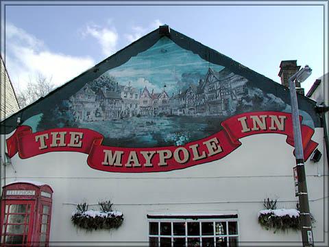
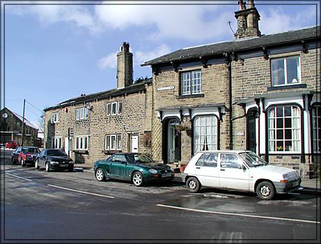
Today
the centre of Warley is dominated by the Congregational Church, referenced by
Pevsner, and the Maypole public house. The square around the war memorial is
strangely funnel shaped where three roads converge. Around it are stone
cottages built for agricultural workers and larger houses for the prosperous
businessmen who liked to live outside the dirty towns. (And still do). The
Anglican Church, St John’s, is outside the village at the bottom of Windle
Royd Lane. Farming remains the main land use of the area though, of course,
few now work in agriculture. Some of the names of the alleys and passages give
additional character to the place – Raspberry Passage and Naylor’s Walk
and Dark Lane. |
|
One
feature of this part of the Pennines is the large number of handsome larger
houses or halls built by the rich in the seventeenth and eighteenth centuries.
These are grand stone houses with mullioned windows but without integral
garages; instead they had stables and dairies and coach houses and servants’
quarters. Examples are Haigh House, the Hill and the Grange. Three families
owned much of Warley for centuries – the Saltonstalls, the Oldfields and the
Murgatroyds. Today trusts for their families control many of the farms, pubs
and residential properties on the hillsides.
|
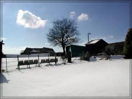
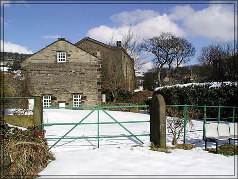
The snow covered cricket ground |
|
Warley is now recognised as one of Calderdale’s most attractive and unspoilt villages. It is most desirable as a place to live but people, rich and poor, still know one another and gossip is still traded in the Maypole by locals alongside the visitors who leave their BMW's and Range Rovers in the car park. It retains a semi-rural atmosphere and a charm which fortunately the residents will fight to keep. Goodness knows, the developers would love to move in. As my brother said to me, it is a refuge from the jungle that is the twenty first century. Tonight he will look across the fields and the valley to Norland Moor and beyond. There is Wainhouse Tower to the left and the street lights strung across the hillsides. There is almost always a chill in the air. It takes some beating. David Brearley
|
Click images to enlarge, use your 'back button' to return